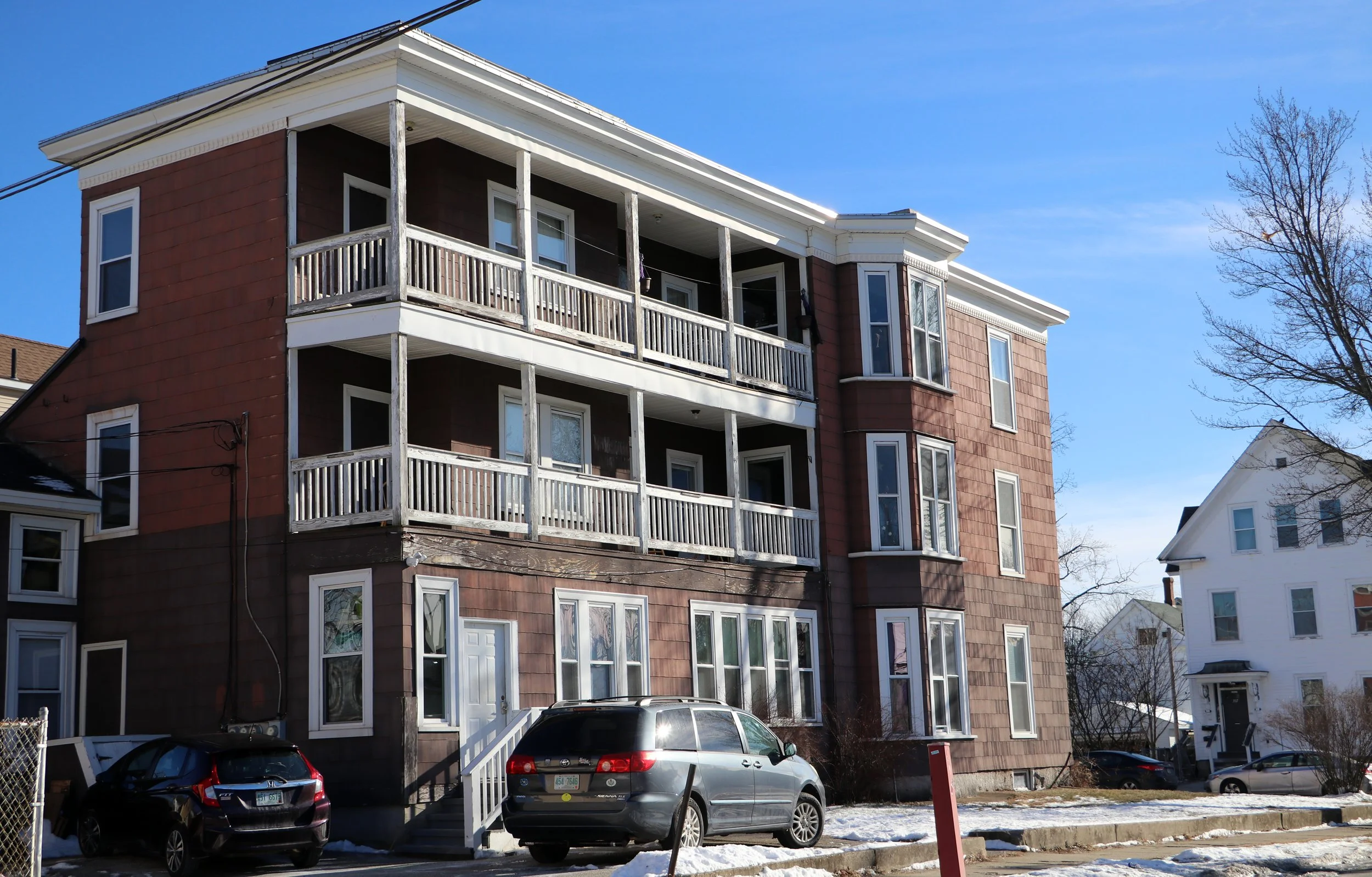
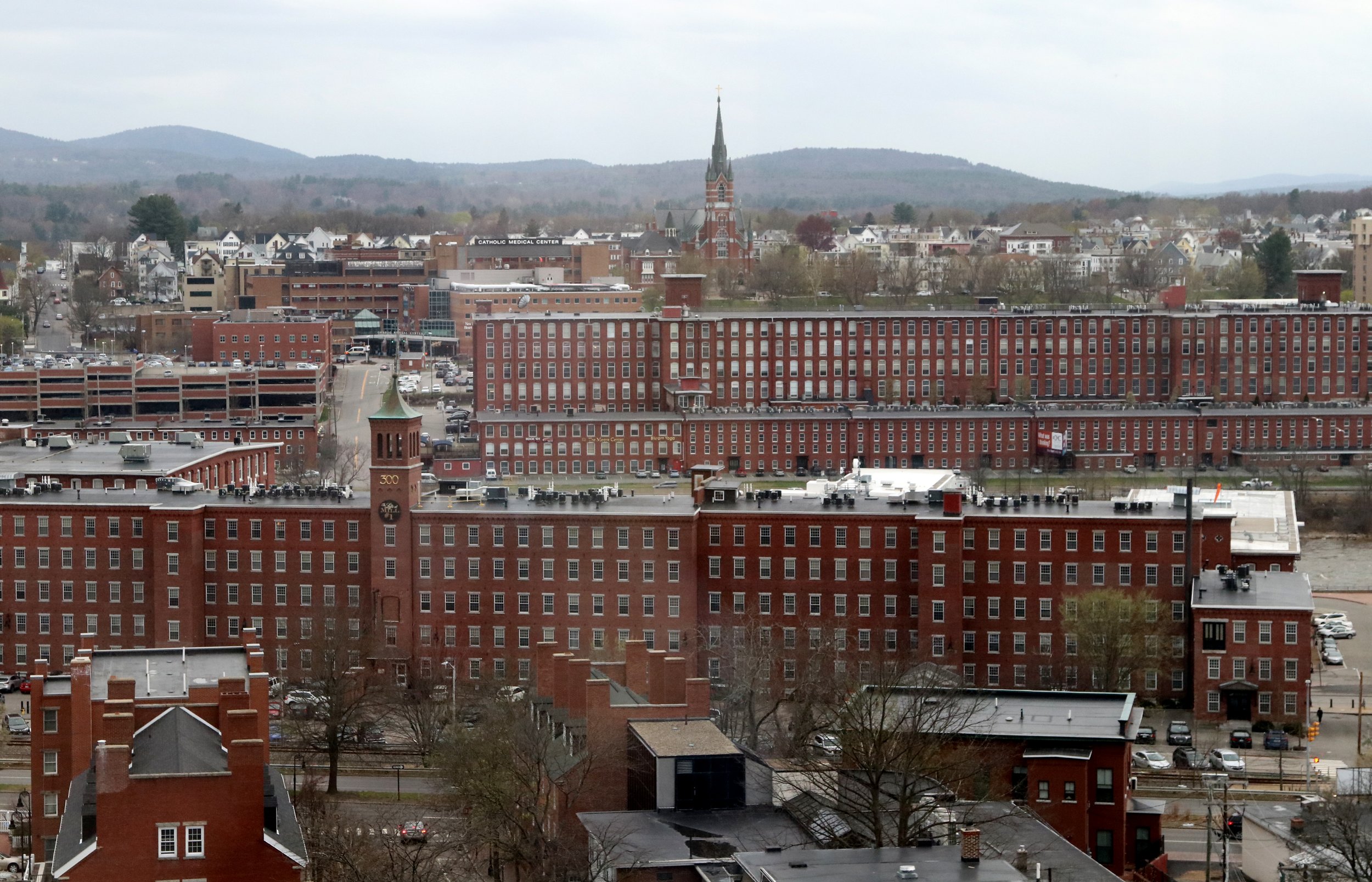
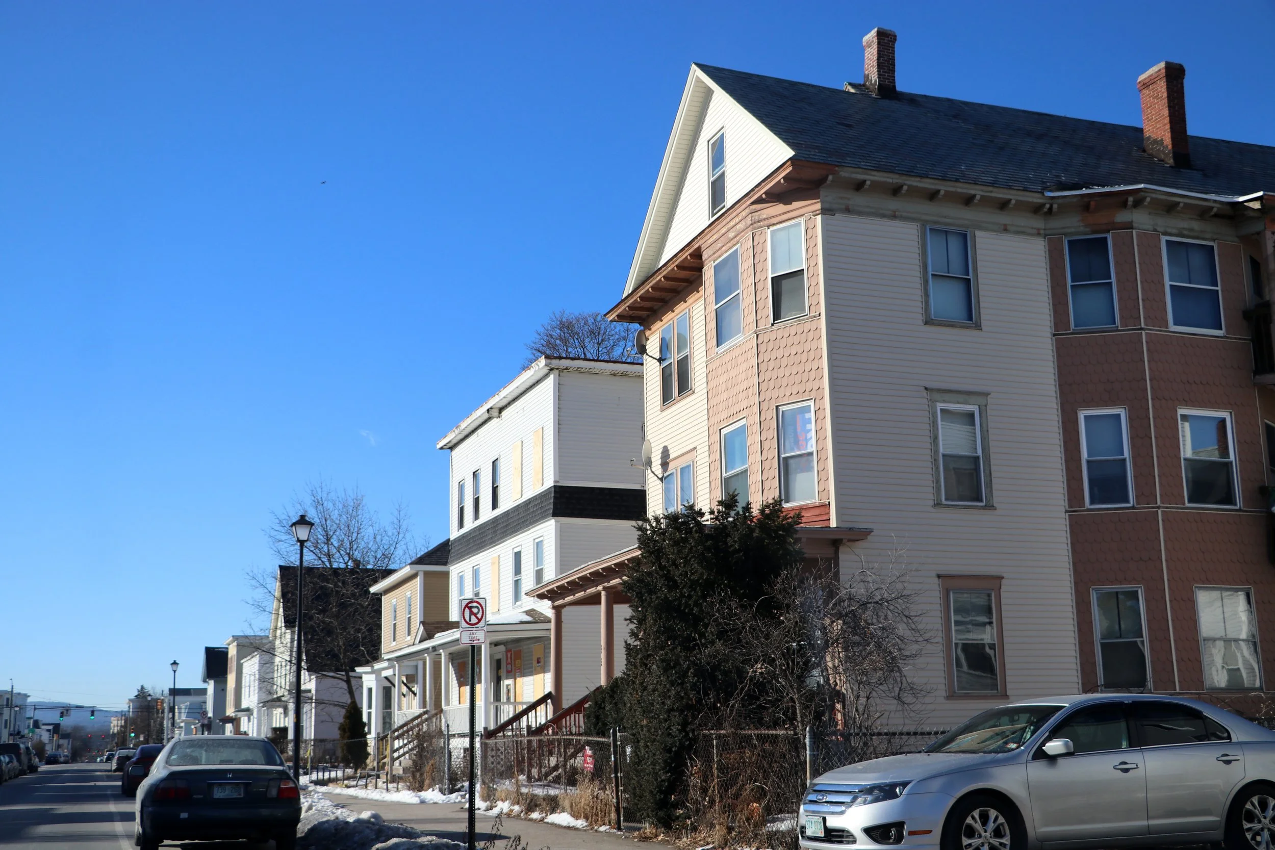
A maze of invisible walls has divided Manchester since the 1920s, dictating what can be built where and, indirectly, where the city’s poorest residents can live. These walls, created by land use zoning laws, have helped segregate the city by income and race. Experts say that even though this kind of zoning is common, it is slowing efforts to fix some of the city’s most complex issues, including the housing shortage, persistent crime hotspots, and economic and racial segregation.
Invisible Walls: The Amoskeag Company legacy
Company town, planned city, manufacturing utopia — these are some of the buzzwords that come up when reading about Manchester under the Amoskeag Manufacturing Company, the mammoth textile producer that reigned over Manchester until the company’s collapse in 1935. That lofty language reflects the company founders’ sky-high aspirations — driven, as one historian has written, by a desire to improve upon “the grimy industrial cities of Europe, where a permanent underclass toiled in the mills” — and hints at the reach of the company’s power.
Invisible Walls: The shackles of zoning
Zoning, in the broadest sense, is the set of laws that dictates how land can be used, including what can be built where. The local zoning or planning board in most communities records these laws in maps and texts, the latter of which can be quite unwieldy. (New York City’s ordinance is a 3,400-page behemoth that comes with its own 200-page summary, making Manchester’s 165-page ordinance look relatively slim.)
Despite the heft, the questions that these documents try to answer are surprisingly simple.
The Role of Redlining
As described by Richard Rothstein’s best-selling book, “The Color of Law,” the mechanism behind redlining was simple. In 1933, to rescue homes that were about to default, the newly created, federally sponsored Home Owners’ Loan Corp. (HOLC) began offering beleaguered homeowners a new kind of loan, the amortized mortgage.


